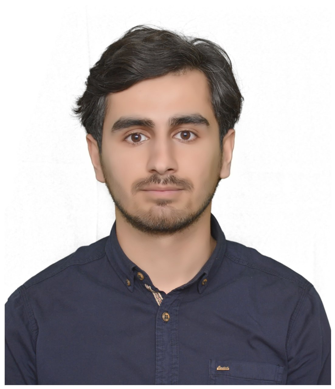
MOHAMMED MIRZA AGHA MAHMOOD
محمد میرزا اغا مەحموود
No Title
Research Center
Research Center
Email: [email protected]
Date of Birth: 1996-07-01
Gender: Male
General Expertise: Leadership and Communication: Leadership roles (e.g., Geo Club Leader, Head of GIS Lab). Public speaking and organizing conferences. Communication with international organizations like ESRI and VNG International. Education and Academic Excellence: Strong academic background with high averages in Geography and Management studies. Research and Publication: Publishing impactful research in international journals. Writing and presenting books and maps related to geography. Language and Communicat
Specific Expertise: Geographic Information Systems (GIS): Advanced knowledge of GIS applications in areas like hydrology, transportation, sustainability modeling, and land surface temperature analysis. Proficient in ArcGIS, Erdas Imagine, and ENVI software. Remote Sensing and Spatial Analysis: Expertise in spatial data modeling, digitizing, topology, and multi-criteria decision-making (e.g., solar power site selection). Urban Planning and Environmental Management: Founding and leading urban planning initiatives,
Employment: full-time
Biography: Mohammed Mirza Agha Mahmood Mohammed Mirza Agha Mahmood is a geographer specializing in Geographic Information Systems (GIS) and urban planning. He currently serves as the assistant head of Academic Relations at Soran University and leads the GIS Lab at the Scientific Research Center. His expertise includes spatial analysis, sustainability modeling, and hydrology. He holds a Bachelor of Arts in Geography from Soran University and a Diploma in Management from Soran Technical Institute. As a student, he led the Geo Club for three years and received the Rwanga Foundation Youth Volunteers Initiative Award for an environmental project. Mohammed has played a key role in advancing GIS research and education. He founded the Cityscape Hub Center for Urban Planning & GIS with VNG International and led the Soran Independent Administration Atlas project. His research focuses on renewable energy site selection, land surface temperature, and hydrographic analysis, with publications in Annals of the American Association of Geographers and presentations at international conferences. Beyond academia, he has contributed to master planning projects, collaborated with ESRI for software licensing, and organized GIS workshops. He is proficient in ArcGIS, remote sensing, data modeling, and Adobe Illustrator. Fluent in Kurdish, English, and Persian, Mohammed continues to drive innovation in GIS applications for urban development and environmental management.
| Supervision Type | Year | Institute | Faculty / College | Department | Research Title |
|---|
| Employment Type | Place of Work | Start Date | End Date | Position | Details | Reference |
|---|---|---|---|---|---|---|
| Academic Relations | 01/01/2023 | 20/10/2025 | Associate manager of Academic Relations | |||
| Scientific Research Center - Soran Univeristy | 1/1/2022 | Head of GIS and Remote Sensing Laboratory | https://src.soran.edu.iq/page/GIS%20and%20Remote%20Sensing.php | |||
| Full-Time | Academic Relations | 20/10/2025 | Director | |||
| Full-Time | Director of Academic Relations - Soran Univeristy | 20/10/2025 | Director | https://main.soran.edu.iq/resources/academic-relations |
| Year | Institute | Faculty | Department | Stage | Semester | Module Title |
|---|
| University Name | Field of Study | Qualification Type | Country | Year |
|---|---|---|---|---|
| Soran University | Geography | Bachelor's Degree | Iraq | 2021 |
Email: [email protected]
Office Address : Soran University Scientific Research Center, MGWG+GJX, Soran, Erbil GovernorateOffice Hours : 8:30am - 2:00 pm
Home Address : Mergasor District, Erbil Governorate, Iraqi Kurdistan, Iraq, Middle East, Asia
Telephone1: 009647507006555
Telephone2:
Research Vision
GIS and Remote Sensing
Research Interest and Supervision
| Activity Type | Detail |
|---|